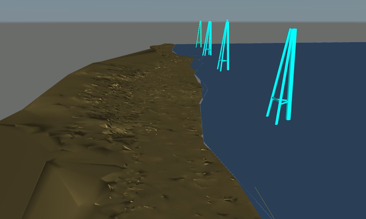
Ground Surface Model's
Ground Surface Model of part of the Ohio River and Hwy 42.
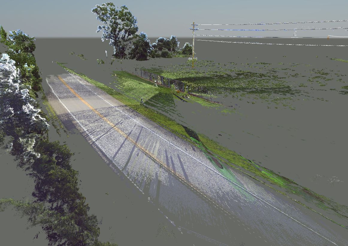
Recently, we were tasked with providing elevations for a client around certain points of the Ohio River and Hwy 42. We were able to accurately provide this information using some of the most modern and up to date 3D scanning and surveying equipment.
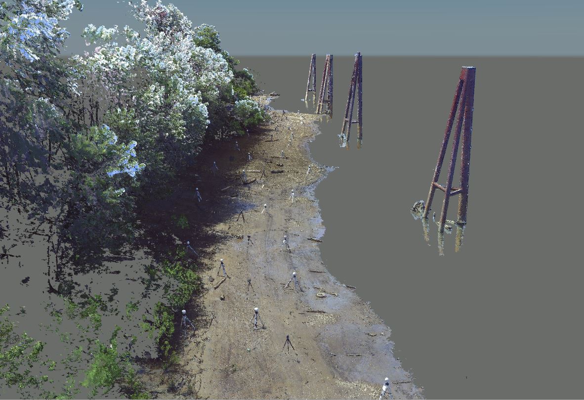
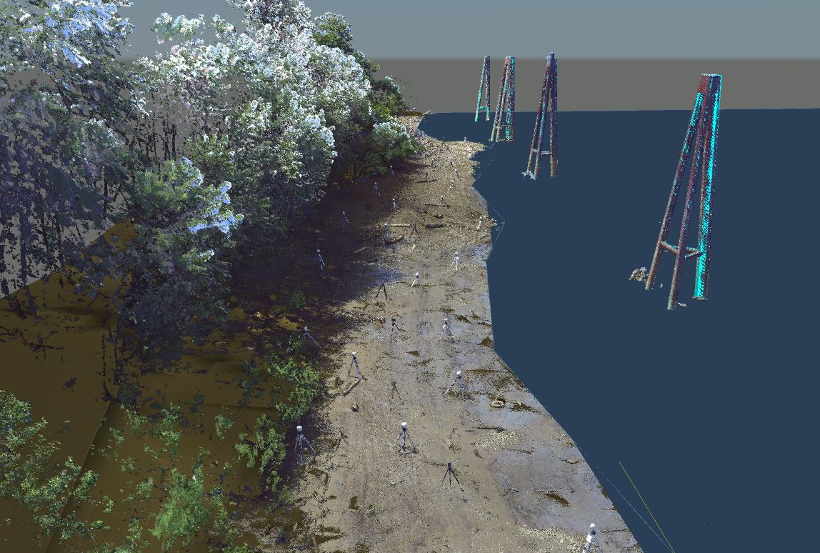
Pictured below is an image of the point cloud around a part of the Ohio River.
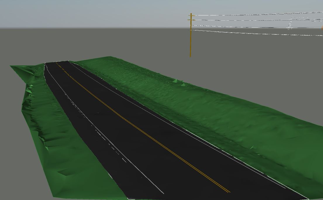
Pictured below is the ground surface model of the river.
The Client can then use this information to find certain elevations and distances throughout the model. They are also able to bring the model and point cloud into different program's like Navisworks Simulate as a reference for future projects.
After obtaining the point cloud from the scans we were able to create accurate and eye appealing model for the client. We use some of the latest software’s and programs to make these models.
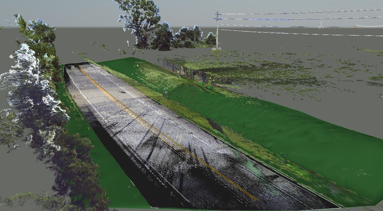
Pictured below shows the same process used to complete Hwy 42 for the client.